Colorado Trail Segment 3: Little Scraggy Trailhead to Rolling Creek Trailhead
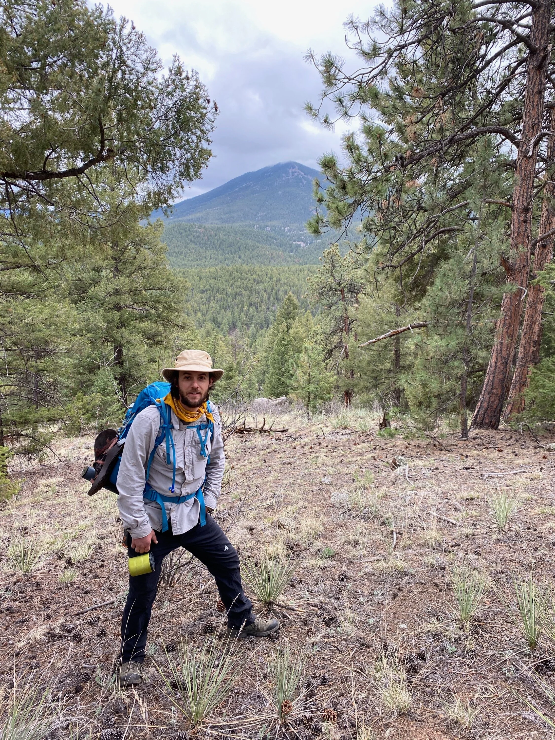
Posing for the camera on day 2
About this Trail
This was a really great early season backpacking trip. I didn’t have high expectations because, by Colorado standards, you can do better, but backpacking trails are pretty limited in the early season. I was pleasantly surprised with how awesome this trip was. This segment of the trail never gets above ~8,200 according to my new altimeter, so it is one of the first segments of the Colorado Trail to become passable so you can scratch that itch. Also, this segment is very close to some good fishing along Buffalo Creek and at Wellington Lake. Expect to pay a day use fee at Wellington Lake ($10 and so worth it even if you don’t catch a single fish). It is very close to Denver, which is convenient, but expect to see several mountain bikers. We left Denver around 7 AM and were on the trail by 8:30 AM. There are a lot of creeks and good water access points. The trail only climbs about 2,000 feet of elevation over about 12 miles so it is a good hike to start the season and whip those legs in shape.
Trail Head Access Point
There are a couple ways to get to the trailhead, but I would recommend taking US HWY 285 southwest from Denver. There will be long stretches with no reception so have a plan to get there before you leave. Drive southwest on 285 for about 32 miles to Pine Junction. Turn left on Jefferson County RD 126 (Pine Valley Road) . You will pass a bridge over the South Platte River near Buffalo Creek. Continue 4 more miles to the intersection of FS RD 550, about 1 mile past Spring Creek RD. Turn right on FS RD 550 and less than a quarter mile will be the parking lot. There is a small fee if you plan to park a car. The trailhead will be in the northwest end of the parking lot.
Trail Description
Disclaimer #1: Navigating this one was a little tricky. It seems that since the USFS map was last published in 2016, the trail has been rerouted a bit in some sections (between miles 3.7 and 7.2). I have since updated my map to what I think it actually looks like now. I have not been on the trail since I updated the map, but the trail is well marked with the signature CT indication on several trees and signage at all trail intersections and so should be easy to follow. However, stay diligent and ask a friendly passing mountain biker if you aren’t sure.
Disclaimer #2: I did this trail on May 7-9, 2020. The water I found might not necessarily be there later in season. The streams on the map that have dots and lines are seasonal and may not be there late in season. The streams that are solid lines should be there year round.
Segment 3 of the Colorado Trail starts at the Little Scraggy Trailhead and goes west. At mile 0.6 (7,820 ft) the trail crosses FS RD 550. At mile 1.4 (7,790 ft) there will be a small stream and across it some camping. At mile 1.87 (7,790 ft) the trail crosses Shinglemill Trail before a small seasonal stream. At mile 2.3 (7,640 ft) some good camping. At around mile 2.5 (7,640 ft) some more camping (dry). At mile 2.8 (7,730 ft) some potential camping (dry) before crossing an old jeep trail and Morrison Creek. At mile 3.6 (7,800 ft) some more camping (dry). At mile 4.5 (8,040 ft) there will be some more camping with a small creek, before the trail starts to go downhill for about a little more than 3 miles. Cross Tramway Creek at mile 5.0 (7,800 ft), where there will be some more camping. At mile 5.4 (7,640 ft) the trail will come to a fork with Tramway Trail, keep left. At mile around mile 6.3 (7,590 ft) the trail will intersect the Green Mountain Trail loop before crossing a seasonal stream, stay to the right. At around mile 6.9 (7,530 ft) there will be an intersection with a trail to the right that leads to Buffalo Creek Campground stay left. Pass this intersection and there will be another intersection on the left for the Green Mountain Trail loop stay right. At mile 7.4 (7,400 ft) cross a seasonal stream and Meadows Group Campground Road. Pass through a gate and keep left. At mile 7.6 (7,350 ft) the trail will go along Buffalo Creek (good fishing) and begin to start going uphill and will remain an uphill trek for the rest of the trail. For those interested, there is an optional side quest here if you brought your fly fishing rod (See Wellington Lake Fly Fishing Side Quest Below). Cross Buffalo Creek and FS RD 543. At mile 8.0 (7,470 ft) there is some good camping that you can’t really see it from the trail, so it seems like a bit of a secret. We camped here and it was really cool and only a short little jaunt down to Buffalo Creek to refill our water. Right after this campsite, there will be an intersection with [problematic] Creek Trail, keep left. At mile 8.7 (7,820 ft) some more camping (dry). Pass a nearby rifle range at mile 9.3 (7,910 ft). At mile 9.5 (7,910 ft) cross the road to Buffalo Creek Gun Club. At mile 10.9 (8,220 ft) some more camping (dry). At mile 11.8 (8,240 ft) will be the last campsite on the trail (dry). Less than a quarter mile is the parking lot for Segment 4: Rolling Creek trailhead.
Wellington Lake Fly Fishing Side Quest
Take a left on County road 543 and hike up about 2.5 miles to Wellington Lake. It’s definitely a trek, but if you’re lucky you can wave down a passing car to give you a lift. There is a fee for daily use ($10). This lake is so beautiful. The water is crystal clear and you can see the fish swimming around. We got an insider tip on the way out from a gentleman that worked there. He said to go to the far side of the lake from where you enter. That’s where the creeks open up and flows into the lake. A lot of trout hang out there waiting for bugs.
Pickup Location
Disclaimer: This road is a bit bumpy. You can definitely make it with a 2-wheel drive car but it’ll be a bumpy ride.
Take US HWY 285 south about 39 miles to Bailey. Turn left on Park County RD 68, the only intersection in town, and travel approximately 5 miles. Park County RD 68 will turn into FS RD 560 (Wellington Lake Road). At the Y, take a right, which continues as FS RD 560, and travel approximately 2 more miles. At the second Y, take a right, which continues as FS RD 560. Lots of good dispersed camping between 1st Y and the trailhead. Continue another mile and the parking lot for Rolling Creek Trailhead will be on the right.
Last Thoughts
I loved this one and can’t wait to take my wife (she doesn’t go if the temperature gets below 50 degrees). A great early season trip while you wait on the higher elevation trails to become passable. Would love to see pics from your adventure if you do this one! Be sure to tag me in photos IG: @TDs_Outdoor_PDFs.
Download map below.
Happy Trails!

Snap this from the Avenza Maps app